AV_Halo CORTEX, Telesto

AV_Halo Cortex, Telesto

AV_Halo CORTEX, Telesto

Insight From Above

A GEOINT Platform for Multi-Source Analysis and Reporting

Discover powerful insights with Telesto, AV’s GEOINT platform that integrates object detection, change detection, broad area search, cross-modal analysis and reporting using multiple data sources. Imagery sources include civilian and commercial (EO and SAR) satellites. Non-imagery data includes RF sources and open-source intelligence.

Featured Capabilities:

Key Features

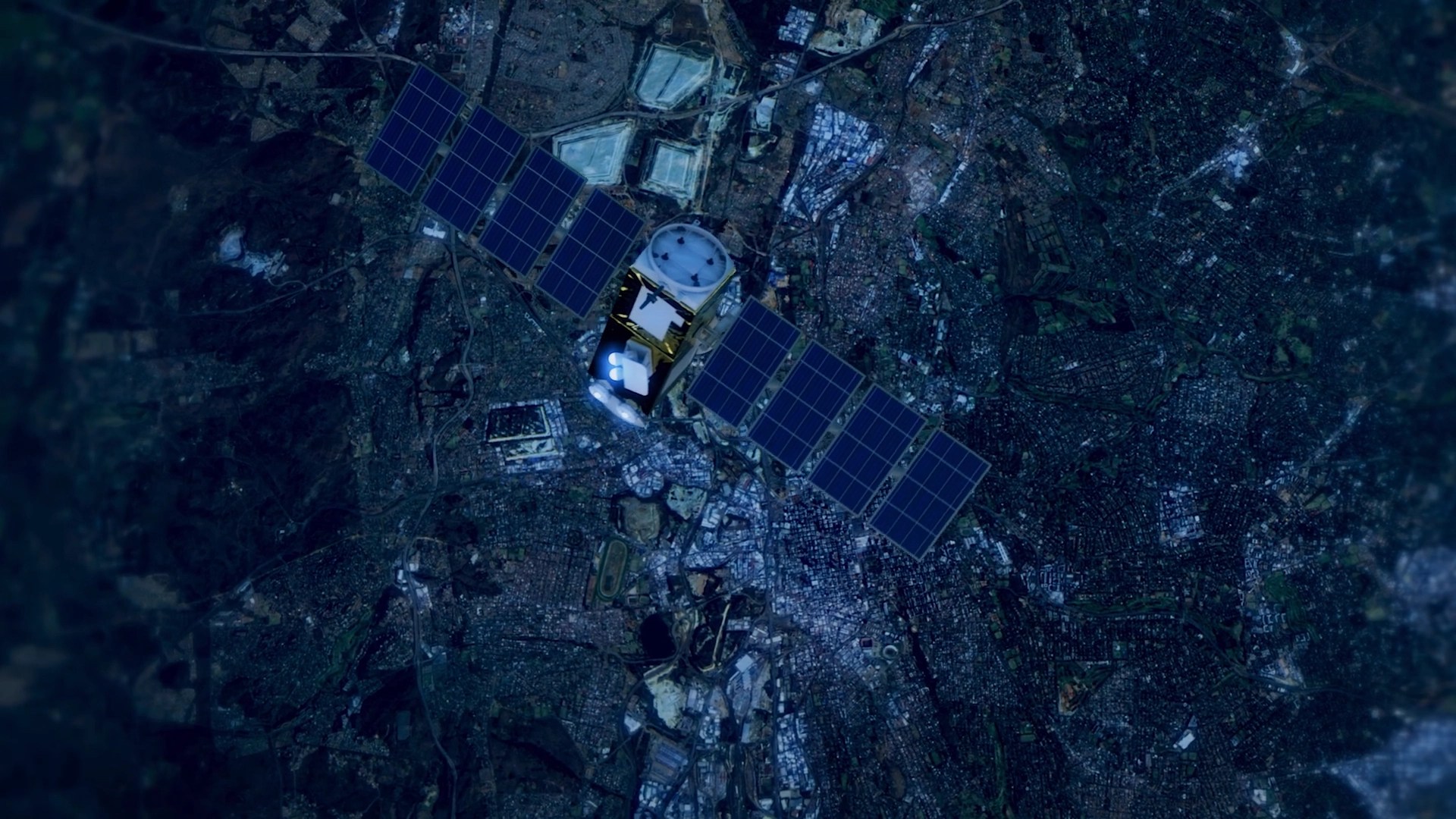
Satellite Tasking & Detection as a Service

In partnership with multiple satellite data providers, Telesto offers automated monitoring services for known facilities and transportation networks, and cost-effective broad area tasking and searching for discovery of unknown structures and sites, and tracking site changes.

Source-Agnostic

Deep learning-based perceptual harmonization creates a temporal datacube of satellite images drawn from multiple satellite sources. Broad area search and characterization algorithms detect and classify heavy construction activities at global scale. The system distinguishes natural changes from anthropogenic activities for GEOINT analysis.

Object-Centric Analysis

Leveraging the state of the art in AI/ML models, Telesto provides an extensive object-centric analysis suite including object detection and characterization, mensuration, change detection, movement analysis and custody maintenance.

Site-Centric Analysis

The interplay between objects, structures, surroundings, environmental context and their relationships emerges in site-centric analysis. Telesto provides transparent site and asset monitoring capability using EO, SAR and non-imaging data sources.

Image Geolocalization

Automated image geolocalization estimates the latitude, longitude and time of capture images taken from ground view (e.g., cellphone camera) or drone view without requiring any metadata.

SAR Data Harmonization and Detection

SAR to EO conversion capability vastly improves image palatability to non-experts in SAR and enables rapid multi-modal analysis.

Cross-view Image Synthesis

For a given location, the cross-view synthesis capability generates likely ground view images using only satellite image as its input. Using this capability, analysts can visualize likely ground camera views in places with missing street view imagery.

Novel View Rendering and 3D Scene Understanding

Using just a few images, the novel view renderer understands the 3D scene and generates views of the structure / scene from unseen directions/locations. The neural modeling capability has revolutionized image-based interpolation and 3D scene understanding.

Related Solutions

WISARD
Cyber
Wisard

WISARD

AV_Halo™
Air
Cyber
Land
Sea
Space
AV_Halo

AV_Halo™