Mission-Relevant PAI Search (Scraawl)
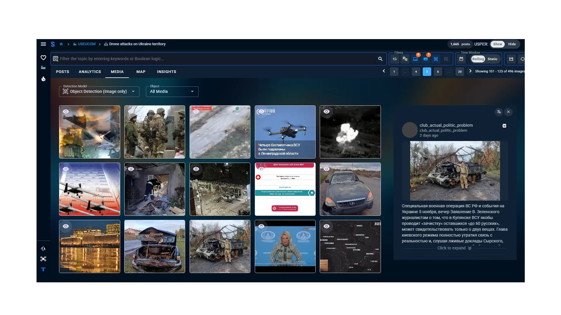
Search millions of curated publicly available information data points across theaters of operation, conflict zones, and global threat regions to build mission-relevant datasets.

Multi-Source Intelligence and Threat Assessment
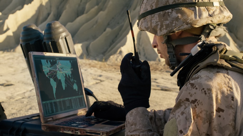
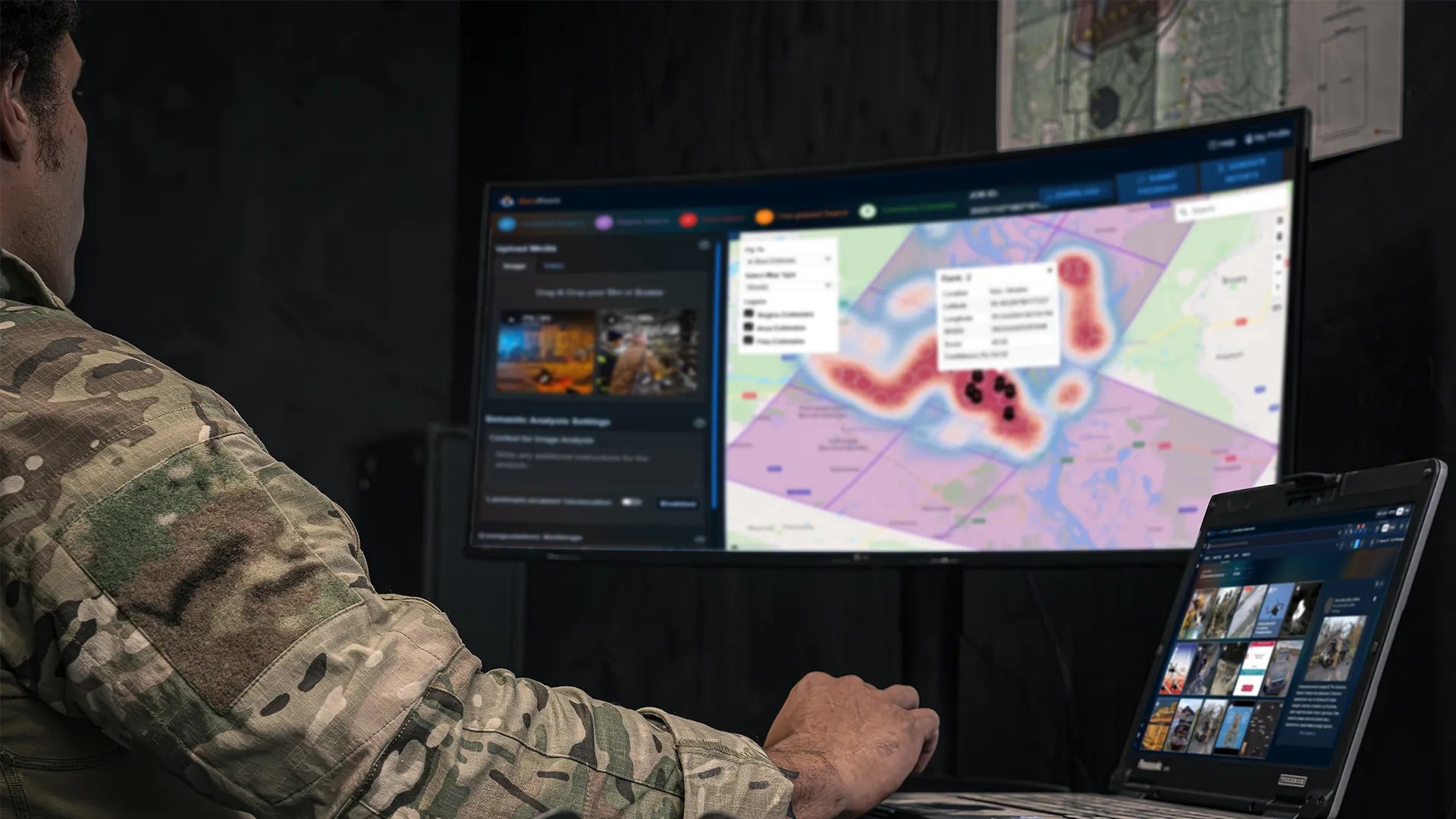
AV_Halo™ CORTEX is a multi-source, multi-modal platform for collecting and exploiting publicly available information. It enables analysts to search curated live and historical data using natural-language and Boolean queries, then combine those results with text, image, video, network, geospatial, and other intelligence analytics.
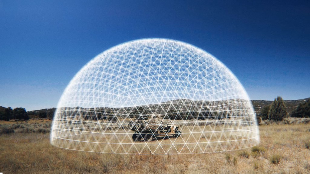
AV_Halo CORTEX fuses threat indicators from multiple passive-intelligence analysis services to provide high-confidence emerging- and imminent-threat warning information to command-and-control systems, including AV_Halo COMMAND.
Mission-Relevant PAI Search (Scraawl)
Search millions of curated publicly available information data points across theaters of operation, conflict zones, and global threat regions to build mission-relevant datasets.
Advanced Analytics
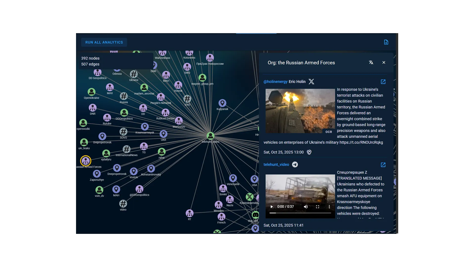
Use interactive analytic views, including map displays, geofencing, automated face and object detection, and network visualizations that link events, entities, and organizations.
Multi-Source Threat Fusion
Combine indicators from multiple passive-intelligence sources to develop a more complete understanding of emerging and imminent threats.
UAS Threat Analysis
Use PAI-sourced drone-event tracking tools to build a unified intelligence picture of drone activity, proximity to assets, and evolving threat indicators.
Global Reach
Access thousands of global news and social-media sources collected through language-agnostic, tradecraft-optimized queries for worldwide awareness.
Insight Agents
Interact directly with datasets through AV’s GPT-powered Insight Agents to accelerate information discovery and analysis.
Automated Image and Video Geolocation (GeoPoint)
Generate geographic coordinates and certainty assessments for images and videos without embedded metadata. GeoPoint can produce detailed location reports with contextual and situational information, including geopolitical events, military activity, key actors, and threat assessments.
Multi-INT Analysis (Telesto)
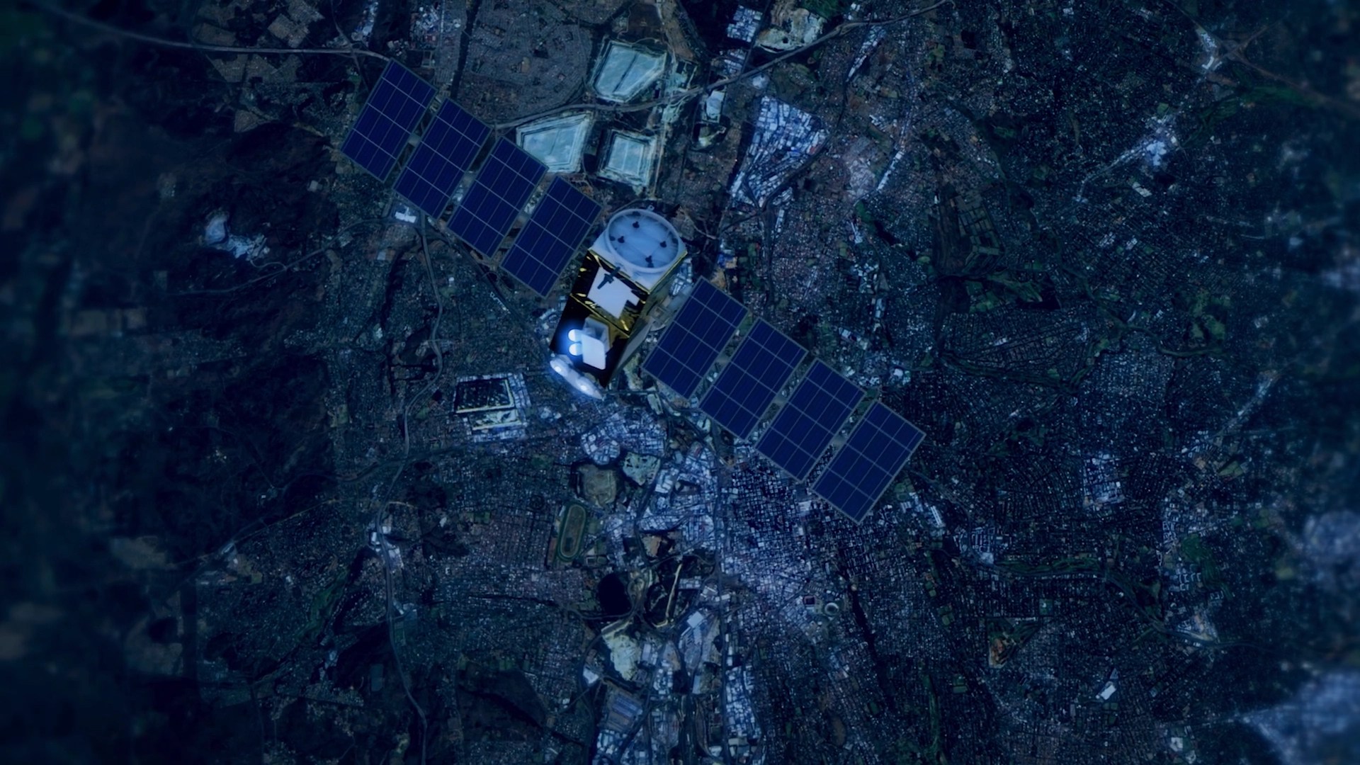
Harmonize OSINT and GEOINT data with satellite tasking, detection services, RF information, image geolocation, SAR and EO image conversion, and aerial-ground cross-view synthesis.
Related Solutions